Tropical Storm Arlene to Form Off Florida Coast, Advisory Issued
The National Hurricane Center just announced a second advisory related to the formation of a tropical depression off the coast of Florida.
RELATED: National Hurricane Center Warns Floridians About Having a False Sense of Security
Late Thursday evening, the National Hurricane Center (NHC) posted a second tropical cyclone advisory related to a tropical depression that had formed southeast of the state of Florida. The system has been named “Tropical Depression Two.” The advisory was shared at 11:00 p.m. Eastern, and at the time, the tropical depression was located at 27.5°N 86.5°W and moving southward at 3 miles per hour with maximum sustained winds of 35 miles per hour.

The 11:00 p.m. advisory stated that the system was located nearly 300 miles west-northwest of Fort Myers, Florida. As of the time of this publication, the system is expected to continue moving in a south-southeastwardly direction and gradually increase its speed. To this point, no coastal watches or warnings are in place.
The National Hurricane Center currently expects the tropical depression to weaken and fizzle out by Saturday.
“Some modest strengthening is possible overnight, and the depression could become a tropical storm by Friday morning,” the advisory reads in part. “Weakening is expected to begin later on Friday, and the system is forecast to degenerate to a remnant low on Saturday.”
The Hurricane Center shared the news that the system had become a tropical depression early on Thursday morning, issuing its first advisory related to the former subtropical storm.

The latest forecasts from the National Hurricane Center team still project the tropical depression to become Tropical Storm Arlene by as early as 8:00 a.m. on Friday morning with sustained winds of 40 miles per hour and wind gusts of 50 miles per hour. The tropical storm is then expected to weaken to a tropical depression late on Friday.
“The system spun up with better organization since Wednesday when the NHC had given the low-pressure area only a 10% chance to form. Earlier projections expected the system to move across Florida this weekend and into the Atlantic, but the latest forecast from the National Weather Service projects it to drift south toward Cuba and weaken before eventually moving east out into the Atlantic early next week.”

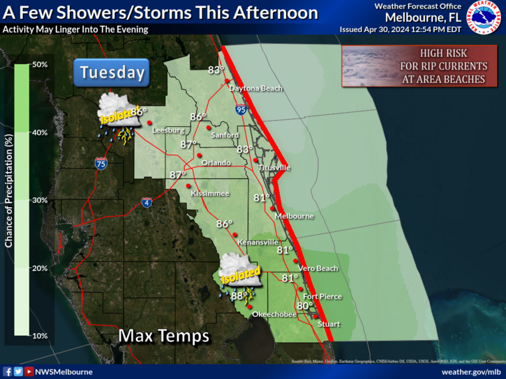
Though the system is moving south, away from Florida, the central part of the Sunshine State may not see its usual dose of sunshine on Friday. According to the National Weather Service in Melbourne, Florida, the updated forecast on Thursday for the centermost part of the state includes chances for two to three inches of rain with five to six inches and some possible localized flooding in areas through Saturday. Rain chances are better in the western inland part of Florida’s peninsula. Hail and 40-50 miles per hour wind gusts are also a possibility.


