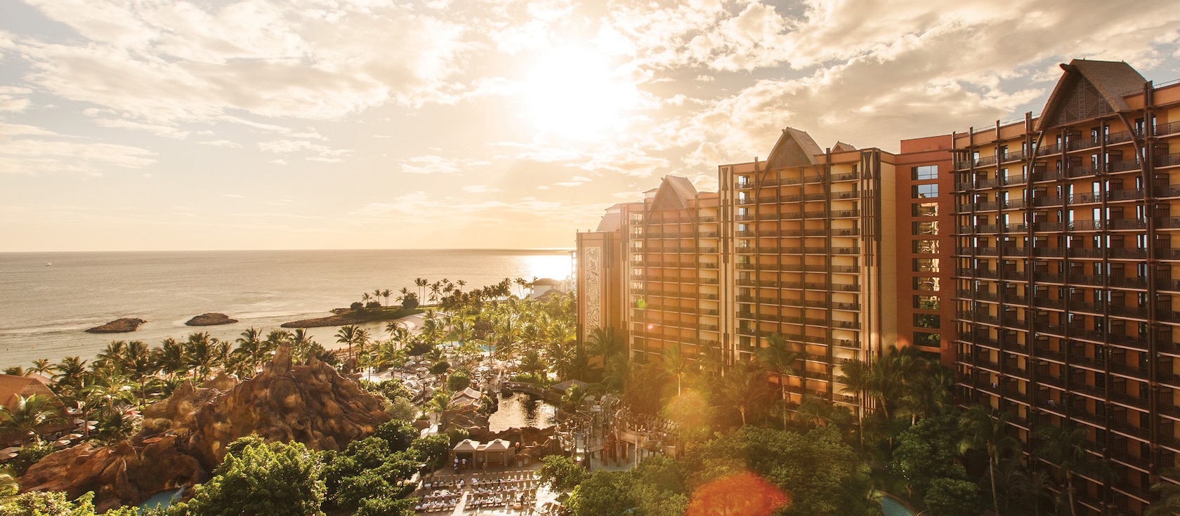
“Powerful” Hurricane Calvin Barrels Toward Guest-Favorite Disney Resort
This week, a powerful hurricane has formed and is headed for one of Disney’s most beloved resorts.
A strong hurricane formed in the Pacific Ocean this week, and as of the time of this publication, the tropical cyclone is expected to become stronger in the next few days. The forecast suggests that the hurricane will weaken as it approaches the state of Hawaii, home to Disney’s Aulani Resort. Hurricane Calvin was a Category 2 storm on Friday morning with wind speeds of 105 miles per hour.
RELATED: INSANE WEATHER: Blizzard Warnings Issued Not Too Far From Disney’s Aulani Resort in Hawaii

Current forecast models predict Calvin will weaken this weekend as it moves over colder waters and “less hospitable atmospheric conditions.” The hurricane is currently on track toward the Aloha State, but it is likely to weaken to only a tropical depression by the time it makes landfall sometime in the middle of next week.
“Calvin will likely impact the state [of Hawaii] beginning next Tuesday, but it is too early for details,” forecasters with the National Weather Service in Hawaii said on Friday.

The majority of hurricanes move in a westerly direction, regardless of whether they form in the Atlantic Ocean or the Pacific Ocean. This is why Atlantic hurricanes pose more of a threat to the United States and other parts of North America. On the other hand, hurricanes forming in the Pacific Ocean close to land can often bring damaging winds and rain before they push out into the open ocean.
Per The New York Times:
Hawaii is in the central Pacific but is occasionally affected by storms that form to the east. It is unusual, however, for a named storm to make landfall in Hawaii, given that the state’s land area is small and divided among several islands. The last hurricane to make landfall in Hawaii was Iniki in 1992. In 2020, Hurricane Douglas avoided a direct hit on the state but nevertheless produced damaging winds.
Hurricane season in the Eastern Pacific began on May 15, two weeks before the Atlantic season starts. Both seasons run until November 30. Complicating things in the Pacific this year is the development of El Niño, the intermittent, large-scale weather pattern that can have wide-ranging effects on weather around the world.
An El Niño reduces wind shear in the Pacific, which refers to changes in wind speed and direction. That instability normally helps prevent the formation of storms, so a reduction in wind shear increases the chances of storms. (In the Atlantic, El Niño has the opposite effect, increasing wind shear and thus reducing the chances for storm formation.) There is solid consensus among scientists that hurricanes are becoming more powerful because of climate change. Although there might not be more named storms overall, the likelihood of major hurricanes is increasing.
As this is a developing story, more information will be shared as it becomes available.


